From baroque Perast to the open sea.
Nine places we love to show our guests — baroque towns, island churches, old fortresses and the glowing Blue Cave. Every course starts on the Tivat promenade.
- places on our chart
- 9
- bays make up the Bay of Kotor
- 4
- Kotor region inscribed on the UNESCO World Heritage list
- 1979
- by sea to the Blue Cave, our longest course
- 22km
All destinations
-
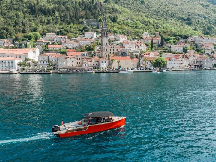
Perast
Baroque palaces on the water
A small baroque town of captains’ palaces and bell towers, facing its two islands. It looks its best from the water — and on the Boka Bay Tour you also step ashore.
≈ 7 km from Tivat
-
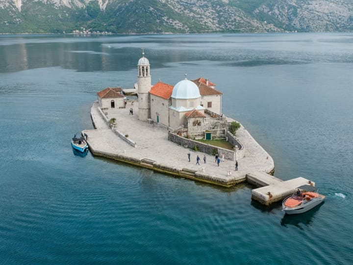
Our Lady of the Rocks
An island built stone by stone
An island made by hand: for centuries the people of Perast have brought stones to the reef — and every July they still do. On the Boka Bay Tour you can step ashore at its church.
≈ 7 km from Tivat
-
Kotor
The walled old town
A walled medieval town at the far end of the bay, part of the UNESCO-listed Kotor region, under mountains that rise straight from the sea.
≈ 17 km from Tivat
-
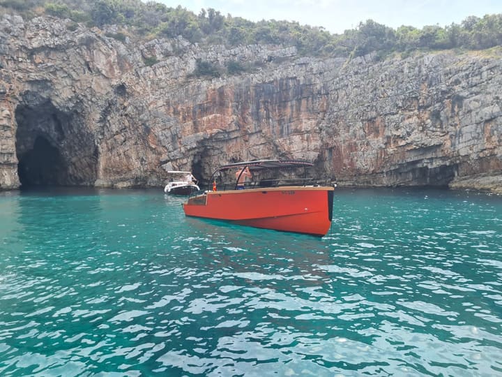
Blue Cave
Swim in the glowing blue water
A sea cave on the Luštica peninsula where sunlight comes up through the water and turns it electric blue. Swim right inside — when the sea is calm enough.
≈ 22 km from Tivat
-
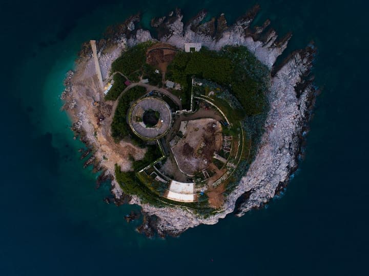
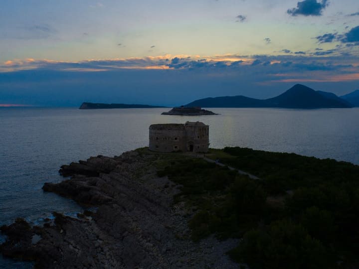
Mamula
Island fortress from 1853
A round fortress on a tiny island at the mouth of the bay, built in 1853 by the Austrian general Lazar Mamula. You pass it on the way to the Blue Cave.
≈ 17 km from Tivat
-
Luštica
Hidden coves and clear water
A green peninsula of olive groves and quiet coves between the bay and the open sea. On a Custom Tour, Boris will find you a cove for a long swim.
≈ 18 km from Tivat
-
Herceg Novi
Old town and fortresses
The town at the entrance to the bay, founded in 1382 by the Bosnian king Tvrtko I — fortresses, stone stairways and an old town that faces the sea.
≈ 14 km from Tivat
-
Island of Flowers
Monastery islet near Tivat
A small islet just south of Tivat, joined to the shore by a short bridge. Its Monastery of St Michael the Archangel goes back to the 13th century.
≈ 3 km from Tivat
-
Risan
Roman mosaics and a quiet bay
The oldest town in the bay, once a stronghold of the Illyrian queen Teuta. Its Roman villa still keeps 2nd-century mosaics — among them Hypnos, the god of sleep.
≈ 10 km from Tivat


Map data © OpenStreetMap contributors